A collection of testimonies written in John Hance’s private guestbook preserves a fascinating collection of early tourist reactions to Grand Canyon.
Classic cartoon travel maps of Grand Canyon
Grand Canyon, as rendered in cartoon form. These vintage travel maps show how tourists saw the canyon in the 1930s and ’40s. They also show how tourists were seen by the artists.
John Wesley Powell, Grand Canyon, and water in the west
Eleven years ago, NPR ran a four-part series of reports called Water in the West. This summer, Lake Mead is at record lows.
Grand Canyon maps: From guesswork to groundwork (Part 2)
From the mid-1800s to the early 20th century, Grand Canyon maps replaced conjecture with science.
Grand Canyon maps: From guesswork to groundwork (Part 1)
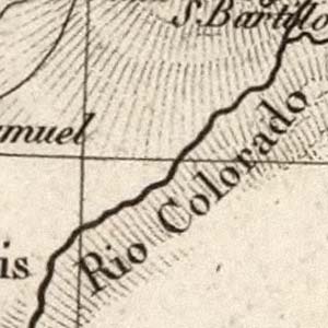
For centuries after the European discovery of Grand Canyon, maps of Western lands were characterized by uncertainty and guesswork.


